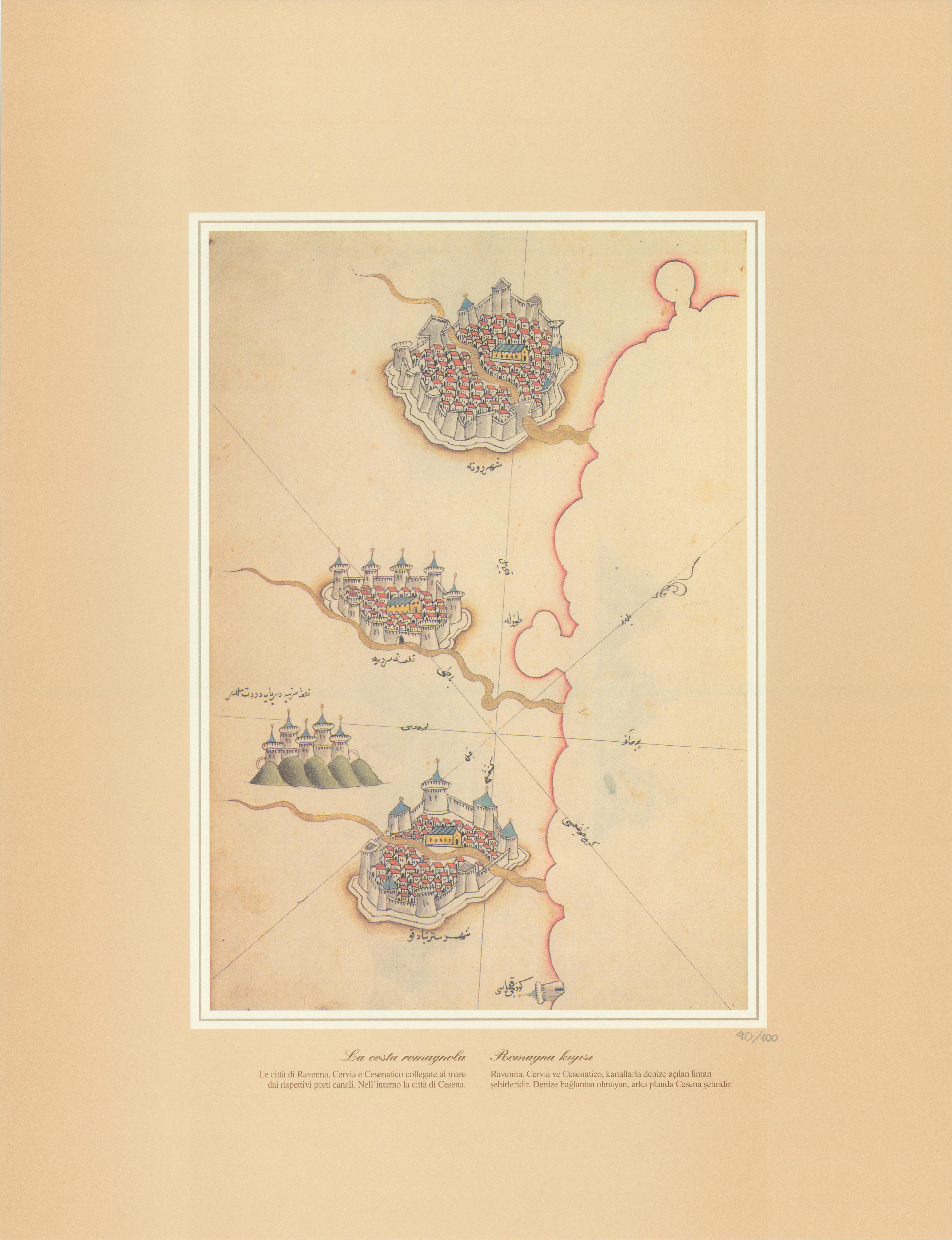
Description
The 15th Century Ottoman Cartography Of The Mediterranean drawn by Piri Re’is
Ask for best postage prices due to size of parcel
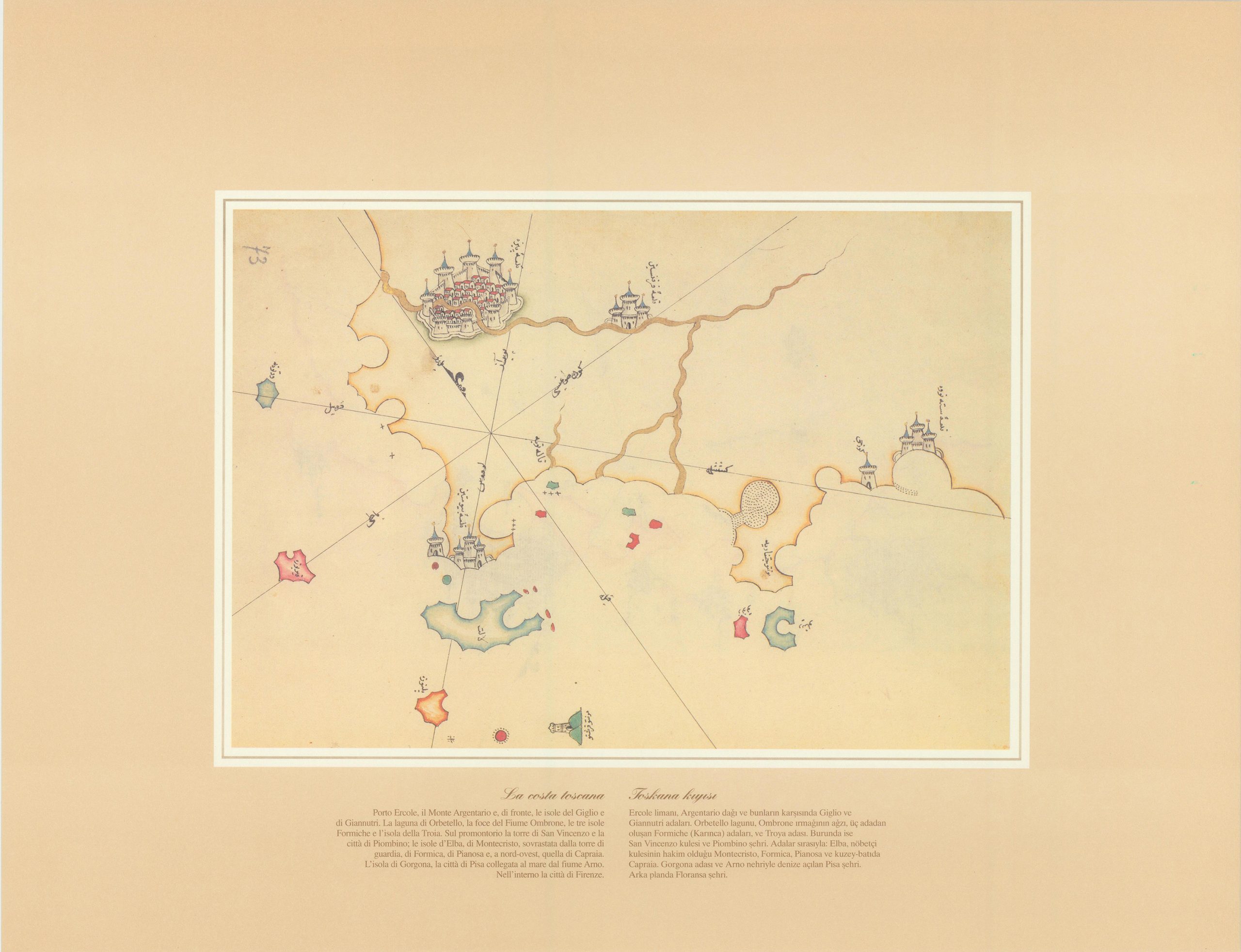
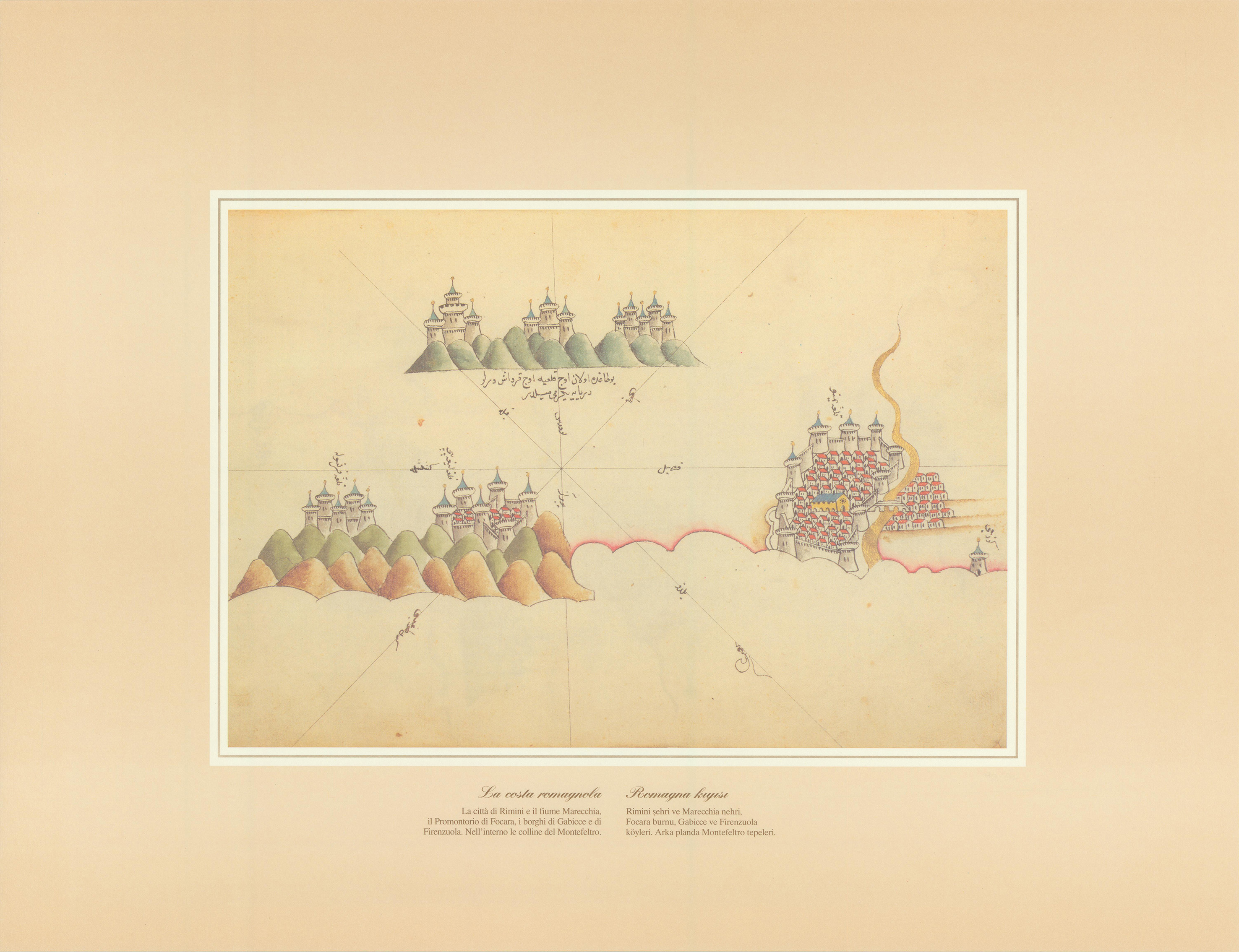
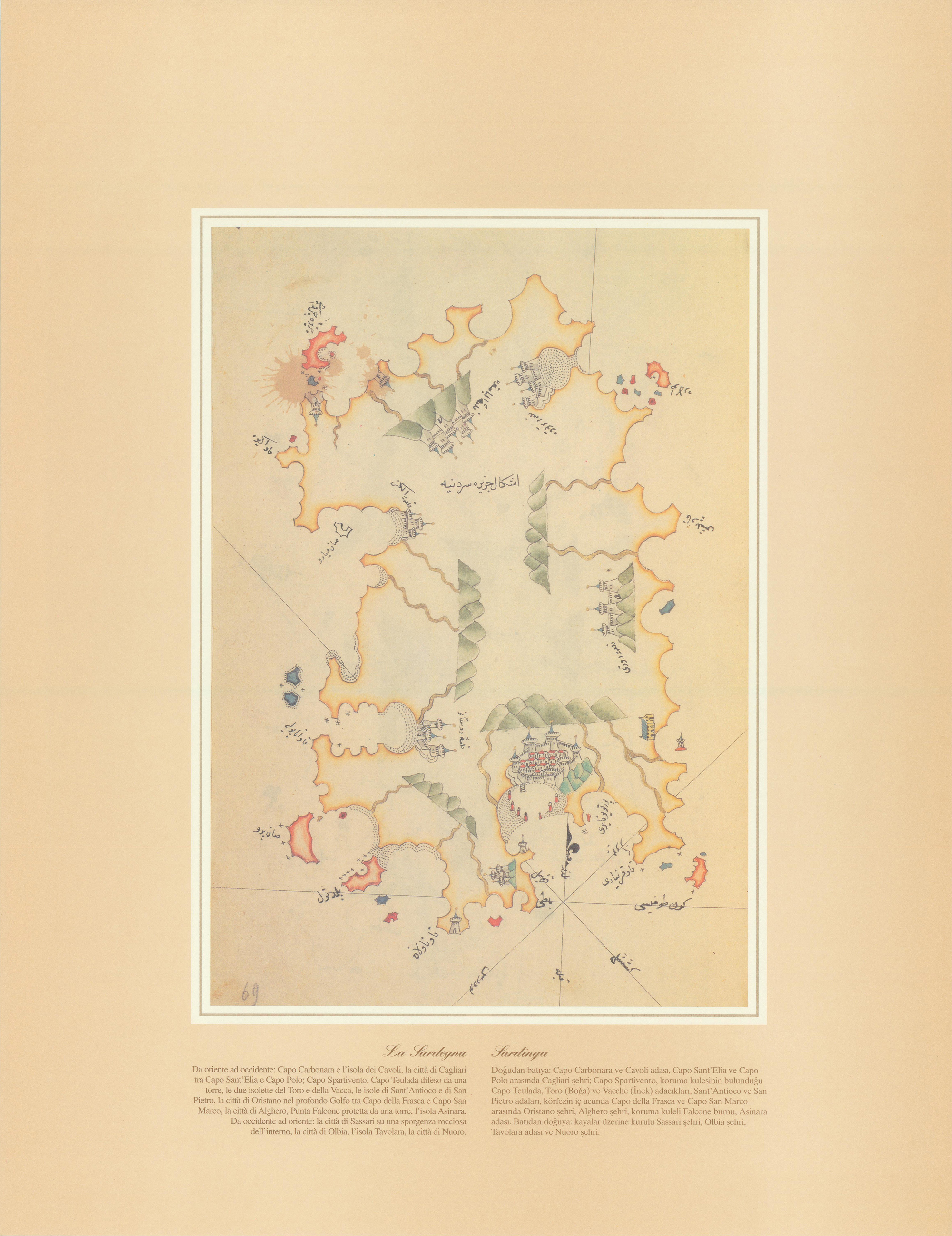
Portfolio containing n° 6 reproductions of the original sea maps from, the Kitab – Ibahriye drawn by Piri Re’is Admiral of Sultan Suleiman the Magnificent in 1521. One of the first and most important cartography of the Italian Coast; from Tuscany to Sardinia, from Sicily to Naples.
P.S. It is said that Piri Re’is drew this cartography before Columbus!


